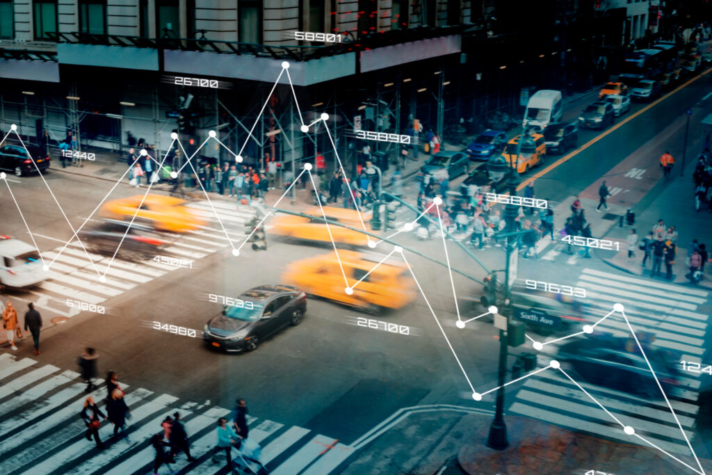
The geospatial sector is the next ‘BIG’ opportunity in terms of new policy implementation and technological advancement. Globally, the geospatial industry is on the cusp of unlocking billions of dollars and creating significant socio-economic benefits for the world. The recent advances in sensor-data fusion capability and location-based technologies, increasing digitalization and workflow integration, huge investments in space and earth observation investments and emerging business models are driving the ubiquitous penetration of geospatial information and technologies to benefit – individuals, local municipalities, provincial and federal governments, and voluntary organizations. Geospatial industry, therefore, is one of the potential market sectors to invest in the coming years.

Let us take some time out to cherish the achievements of technology, industry, and academics in the geospatial macrocosm for the year that has come to an end. 2021 brought a sense of urgency: the urgency to rebuild our societies and economies; the urgency to get businesses on track; the urgency to bridge the digital divide; and the urgency to ensure sustainable development. We have witnessed new policies unfurl in the recent past across the globe that promise to take us to stellar heights in the actualization of geospatial potential. There has been a significant shift in what’s being constructed, with new emphasis on data centers and warehouses due to the boom in e-commerce; and the pandemic has indeed acted as an ‘accelerator’ for digitalization.

The geospatial aspect in the Fourth Industrial Revolution has come to represent not just a shift in industrial capitalism through the speed and scope of technological evolution but it has also supervened as a paradigm shift in the very outlook of technology and the resultant societal patterns. Geospatial data and technologies are quietly but steadily facilitating this transition and will assume an even more significant role in the times to come.

As we embark on a new path of growth, we cannot forget the challenges posed to us vis-à-vis the environment, and must be open to rethink and realign technology with its exigencies.

Technology Solutions

In today’s hyper-competitive business environment, agility, cost effectiveness and efficiency are what one needs to achieve long-term growth and success. One way to go about this is to significantly improve the performance of your existing business workflows.

GIS

Data is inarguably the most valuable resource in today’s world. Unlike in the past, the commercial sector now collects vast amounts of real-time data and knows more about society than governments. This knowledge is not just at the aggregate level, but goes down to the behaviour, preferences and real-time location of individuals. So, how does this shift in knowledge, and therefore power, among the key actors (the state, commercial sector, people and machines) affect the governance of human society? If you are interested to find out the answer, log on to GW Prime today. 

In societies transformed by the digital revolution, the questions of governance revolve primarily around data — the governance of data and new forms of governance with data.

Just like oil needs refining and gold has to be extracted from ore, knowledge needs to be extracted as a commodity from data before being useful in decision support.

In today’s world, location is perhaps the single most important information linking questions around who, what, when, why, and how, and adding meaning to the answers. Amidst COVID-19, multiple sectors, such as supply chain and logistics, healthcare, retail, and real estate relied on Location Intelligence for smooth operations. With the pandemic ushering in a new normal, other sectors like advertising and marketing, and media and entertainment are now using this technology to reach out to their target audience and offer them personalized services. Similarly, popular shared economy businesses, such as Ola, Uber, Foodpanda and Zomato are heavily dependent on location analytics and mapping services for day-to-day operations.

  • Why GIS & Whats NEW in GIS
  • GIS for Academia
  • GIS for Government
  • GIS for Business

Why GIS & What’s NEW in GIS
New in GIS : ArcGIS 10.8 – Innovative. Powerful. Reliable.

The new release, ArcGIS 10.8, expands on the platform’s key capabilities with enhancements to mapping, analytics, data management and Web GIS. Fresh functionality and capabilities in ArcGIS result in an even more user-friendly approach to apps and agility, helping you solve problems every day.

Release includes significant updates for ArcGIS Pro, innovations in 3D analytics, new spatial analytics tools, powerful image data processing, Utility Network Management extension and new solutions like ArcGIS Hub, and ArcGIS Monitor.

Many organizations are now undertaking the #geospatialbydefault movement that affect their lines of business, organizations, industries, and even the global community every day. By using geospatial technologies to create change, these organizations are proof that the hidden treasure of spatial thinking can be unveiled through collaborative, interactive, and user-driven application, innovation and policy implementation.

We want to tell the world about these stories. That’s where you come in.

Mapping and Analysis with ArcGIS Online

ArcGIS Online is Esri’s cloud-based mapping and analysis platform that lets you deliver location intelligence to anyone, anywhere, on any device. With ArcGIS Online, you can create data-driven maps, use spatial analysis to learn more about your data, and share insights with others through useful apps.

GIS for Academia

Hyper link for PDF of Datasheet EIGAP

GIS for Government

Year 2022 is an important year for the Sustainable Development Goals (SDGs).

When pursuing ambitious long-term targets like the SDGs, measuring progress at frequent intervals and documenting the successes and shortfalls is essential. It’s already three years into SDG adoption, how are countries doing? Developing the adequate monitoring and reporting system is still a challenge for many countries. In order to end poverty, reduce inequality, tackle climate change, and more by 2030, knowing the current progress can help countries figure out how to do better, faster.

Geospatial technologies offer attractive solutions in monitoring key areas in SDG. By using high-resolution remote sensing data, artificial intelligence and crowdsourcing, even societal issues such as poverty, child slavery and human trafficking can be mapped and eradicated.

Aerial images of road networks, crops, digital health records, phone call records, night time lights from satellites, social media sentiment and environmental sensors provide more frequent data flows that can be used to complement official statistics, empower citizens, and provide better monitoring and feedback loops.

However, acquiring geospatial data and its technology is an expensive affair. What can be done to assist developing countries to monitor SDGs? Collaboration and partnership. A global multi-stakeholder partnership involving the users, producers, beneficiaries and owners of data is imperative to ensure that geospatial data can be leveraged by all.

Source of human existence ‘Water’ is an integral component of sustainable development. In India, due to the population explosion, the shortage of water resources is becoming extremely prominent. Water is now considered to be a critical resource. ‘Water Security’ has always been a governance challenge. In present times, water demands are rising, aging water infrastructures are deteriorating at a faster rate, resources are diminishing and the problems of water loss are relentless. Promulgation of new laws and increasing public awareness in the area of water resources have made the use of advanced technologies indispensable.  

Water management and conservation practices are still evolving and fuelling a move to smart technological solutions which promotes sustainable water systems. Geospatial technologies are gaining importance in building GeoSmart Water and it is a key to intelligent water system. It has the potential to make a significant contribution in integrated water resource management, building smart water systems and infrastructure and creating sustainable water management for agriculture as well.

3D MODELING 2.0

With focus on sustainable living and smart housings of the future, real-time 3D modeling is expected to play an instrumental role in building tomorrow’s infrastructure. In this edition we get a detailed overview of some of the latest and upcoming technology trends in the construction and infrastructure sector.

ALSO AT A GLANCE

Special Feature: Satellite Imagery for Journalism

Useful Insight: BIM Adoption Around the World

Corner Office: Interview with Tan Boon Khai, CEO Singapore Land Authority

  • Think Smart, Think City – An article elaborating the nuances of smart cities
  • How GDPR impacts location data – Special Feature
  • All about High Definition Maps

GIS for Business

As we all are well aware about the 4th Industrial Revolution, driven by AI, Big Data, IoT, and Robotics, and how is it bringing significant attention to geospatial technology, expanding its reach to larger masses of the society.

Geospatial technology is now empowering IT-enabled services and optimizing engineering workflows and business processes. Being an integral part of this disruptive journey, geospatial industry is now open to larger market drivers, creating new growth opportunities. The hidden treasure of spatial thinking is being unveiled through collaborative, interactive, and more user-friendly platform. Simplifying utility and value of geospatial knowledge for consumers became a determining factor for successful business models. While disruption gets to be the new normal, geospatial is becoming ubiquitous, pervasive, and ‘default’ in our daily lives.

Technologies are creating impacts in so many city components – better parking, efficient lighting, improved traffic flow, smarter security, improved waste management, disaster planning, etc. However, these fragmented components need a common, unified platform to make up one truly smart city.      

With India’s young and rapidly growing population, the country needs thriving cities that are sustainable in the long run. If handled well, India can reap significant benefits from urbanization which is projected to account for 40% of India’s population by 2030. This means that in addition to the concept of smart cities we must also look at rejuvenating and making existing urban areas sustainable and inclusive. To make sure that tomorrow’s cities provide opportunities for all, it is essential to understand that the concept of inclusive cities involves multiple spatial, social and economic factors.

The Smart Cities track will feature experts in Smart Governance, Inclusivity, Sustainability, Mobility, Safety, Communication, Infrastructure, Health and Education. We will provide a platform that will enable us to drive technology to think, recognize, learn, problem-solve and carry out decision-making in the development of Smart Cities in India using geospatial strategy as the base.